
Lustenau topographic map
Interactive map
Click on the map to display elevation.
About this map
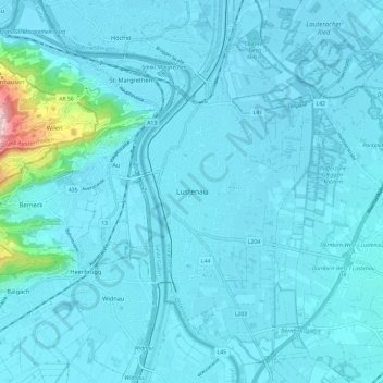
Name: Lustenau topographic map, elevation, terrain.
Location: Lustenau, Bezirk Dornbirn, Vorarlberg, 6890, Austria (47.38765 9.61994 47.46765 9.69994)
Average elevation: 1,398 ft
Minimum elevation: 1,296 ft
Maximum elevation: 2,789 ft