
Cedro topographic map
Interactive map
Click on the map to display elevation.
About this map
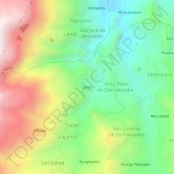
Name: Cedro topographic map, elevation, terrain.
Location: Cedro, Socos, Huamanga, Ayacucho, Peru (-13.18522 -74.32250 -13.14522 -74.28250)
Average elevation: 10,610 ft
Minimum elevation: 9,173 ft
Maximum elevation: 12,713 ft