
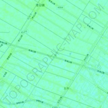
大通河 topographic map
Interactive map
Click on the map to display elevation.
About this map
Name: 大通河 topographic map, elevation, terrain.
Location: 大通河, 天真区, 崇明区, 上海市, 中国 (31.53209 121.62231 31.58604 121.70137)
Average elevation: 10 ft
Minimum elevation: 0 ft
Maximum elevation: 20 ft
Other topographic maps
Click on a map to view its topography, its elevation and its terrain.