
Galera Norte topographic map
Interactive map
Click on the map to display elevation.
About this map
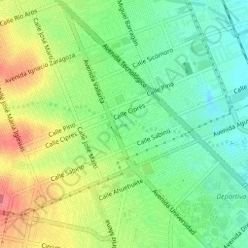
Name: Galera Norte topographic map, elevation, terrain.
Average elevation: 4,747 ft
Minimum elevation: 4,642 ft
Maximum elevation: 4,892 ft
Other topographic maps
Click on a map to view its topography, its elevation and its terrain.
Cerro Santa Clara
México > Chihuahua > Chihuahua
Cerro Santa Clara, Chihuahua, 31125, México
Average elevation: 5,154 ft