
Sint-Job-in-'t-Goor topographic map
Interactive map
Click on the map to display elevation.
About this map
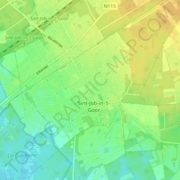
Name: Sint-Job-in-'t-Goor topographic map, elevation, terrain.
Location: Sint-Job-in-'t-Goor, Brecht, Antwerpen, Vlaanderen, 2960, België (51.27559 4.55593 51.31559 4.59593)
Average elevation: 59 ft
Minimum elevation: 23 ft
Maximum elevation: 95 ft
Een oude overgang van het Kanaal Dessel-Turnhout-Schoten ter hoogte van Sas 5 werd opnieuw opengesteld op 28 april 1976.