
Meenangadi topographic map
Interactive map
Click on the map to display elevation.
About this map
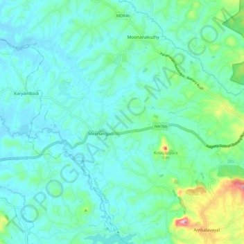
Name: Meenangadi topographic map, elevation, terrain.
Location: Meenangadi, Sulthanbathery, Wayanad, Kerala, 673591, India (11.61316 76.13441 11.71517 76.22074)
Average elevation: 2,575 ft
Minimum elevation: 2,385 ft
Maximum elevation: 3,451 ft