
Teluk Dalam topographic map
Interactive map
Click on the map to display elevation.
About this map
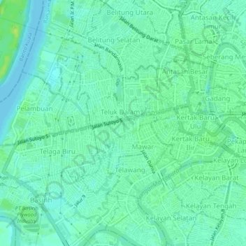
Name: Teluk Dalam topographic map, elevation, terrain.
Location: Teluk Dalam, South Kalimantan, 70119, Indonesia (-3.34209 114.55883 -3.30209 114.59883)
Average elevation: 20 ft
Minimum elevation: -3 ft
Maximum elevation: 46 ft