
Lac des Cônes topographic map
Interactive map
Click on the map to display elevation.
About this map
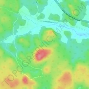
Name: Lac des Cônes topographic map, elevation, terrain.
Average elevation: 617 ft
Minimum elevation: 512 ft
Maximum elevation: 791 ft
Other topographic maps
Click on a map to view its topography, its elevation and its terrain.
Saint-Jean-Vianney
Canada > Québec > Ville de Saguenay
Saint-Jean-Vianney, Ville de Saguenay, Saguenay - Lac-Saint-Jean, Québec, G7P 1H5, Canada
Average elevation: 312 ft