Козьмодемьянск topographic map
Interactive map
Click on the map to display elevation.
About this map
Name: Козьмодемьянск topographic map, elevation, terrain.
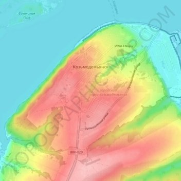
Average elevation: 374 ft
Minimum elevation: 200 ft
Maximum elevation: 610 ft

Click on the map to display elevation.
Name: Козьмодемьянск topographic map, elevation, terrain.
Average elevation: 374 ft
Minimum elevation: 200 ft
Maximum elevation: 610 ft