
El Puerto de Leitariegos topographic map
Interactive map
Click on the map to display elevation.
About this map
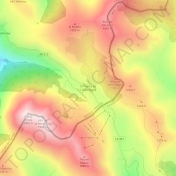
Name: El Puerto de Leitariegos topographic map, elevation, terrain.
Location: El Puerto de Leitariegos, Cangas del Narcea, Asturias, España (42.97883 -6.43854 43.01883 -6.39854)
Average elevation: 5,285 ft
Minimum elevation: 3,576 ft
Maximum elevation: 6,532 ft