
Thara topographic map
Interactive map
Click on the map to display elevation.
About this map
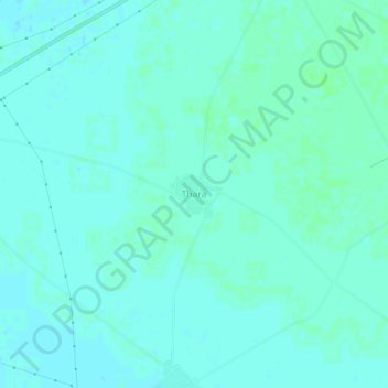
Name: Thara topographic map, elevation, terrain.
Location: Thara, Kotkapura Tahsil, Faridkot, Punjab, India (30.50552 74.72933 30.54552 74.76933)
Average elevation: 679 ft
Minimum elevation: 669 ft
Maximum elevation: 689 ft