
Lac Kyoga topographic map
Interactive map
Click on the map to display elevation.
About this map
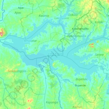
Name: Lac Kyoga topographic map, elevation, terrain.
Location: Lac Kyoga, Amolatar, Northern Region, Ouganda (1.19160 32.34135 1.79367 33.48573)
Average elevation: 3,465 ft
Minimum elevation: 3,379 ft
Maximum elevation: 4,511 ft