
Fraipont topographic map
Interactive map
Click on the map to display elevation.
About this map
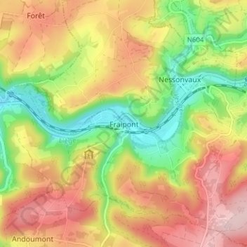
Name: Fraipont topographic map, elevation, terrain.
Location: Fraipont, Trooz, Liège, Wallonie, 4870, Belgique (50.54641 5.70273 50.58641 5.74273)
Average elevation: 676 ft
Minimum elevation: 299 ft
Maximum elevation: 1,033 ft