
Breda topographic map
Interactive map
Click on the map to display elevation.
About this map
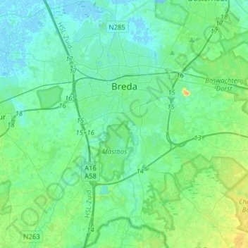
Name: Breda topographic map, elevation, terrain.
Location: Breda, Nordbrabant, Niederlande (51.48555 4.65798 51.64320 4.87168)
Average elevation: 23 ft
Minimum elevation: -7 ft
Maximum elevation: 89 ft