
Vogtland topographic map
Interactive map
Click on the map to display elevation.
About this map
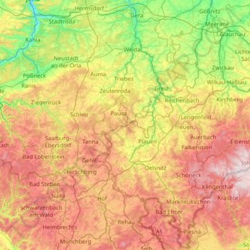
Name: Vogtland topographic map, elevation, terrain.
Location: Vogtland, Rosenbach/Vogtland, Vogtlandkreis, Saxony, Germany (50.17133 11.37501 50.91276 12.56665)
Average elevation: 1,526 ft
Minimum elevation: 482 ft
Maximum elevation: 3,232 ft