
Manambolo topographic map
Interactive map
Click on the map to display elevation.
About this map
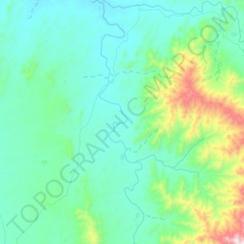
Name: Manambolo topographic map, elevation, terrain.
Location: Manambolo, Maromby, Anosy, Province de Toliara, Madagascar (-24.50502 46.56039 -24.28291 46.60820)
Average elevation: 1,709 ft
Minimum elevation: 948 ft
Maximum elevation: 5,545 ft