
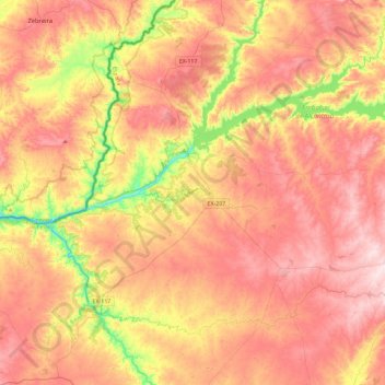
Alcántara topographic map
Interactive map
Click on the map to display elevation.
About this map
Name: Alcántara topographic map, elevation, terrain.
Location: Alcántara, Tajo-Salor, Cáceres, Estrémadure, 10980, Espagne (39.51328 -7.06498 39.85869 -6.60239)
Average elevation: 1,024 ft
Minimum elevation: 374 ft
Maximum elevation: 1,506 ft