
Urbanización Santa Rosa topographic map
Interactive map
Click on the map to display elevation.
About this map
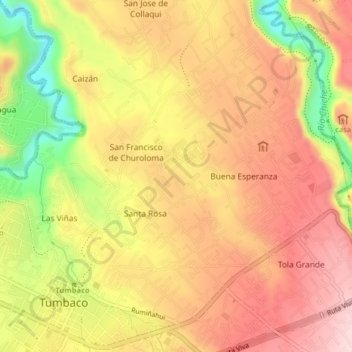
Name: Urbanización Santa Rosa topographic map, elevation, terrain.
Average elevation: 7,703 ft
Minimum elevation: 7,178 ft
Maximum elevation: 8,045 ft