
Buizingen topographic map
Interactive map
Click on the map to display elevation.
About this map
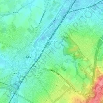
Name: Buizingen topographic map, elevation, terrain.
Location: Buizingen, Hal, Brabant flamand, Flandre, 1501, Belgique (50.72147 4.24263 50.75428 4.28431)
Average elevation: 174 ft
Minimum elevation: 89 ft
Maximum elevation: 374 ft
Other topographic maps
Click on a map to view its topography, its elevation and its terrain.