
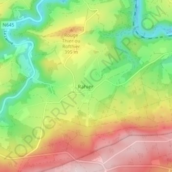
Rahier topographic map
Interactive map
Click on the map to display elevation.
About this map
Name: Rahier topographic map, elevation, terrain.
Location: Rahier, Liège, Wallonie, 4987, Belgique (50.36604 5.75862 50.40604 5.79862)
Average elevation: 1,096 ft
Minimum elevation: 640 ft
Maximum elevation: 1,631 ft
Le village de Rahier, situé à environ 300 mètres d'altitude, est accessible par trois routes. La première vient de Werbomont, la seconde vient de La Gleize en passant par Cheneux, et la troisième vient de Xhierfomont.