
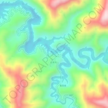
白水 topographic map
Interactive map
Click on the map to display elevation.
About this map
Name: 白水 topographic map, elevation, terrain.
Location: 白水, 祁阳县, 永州市, 湖南省, 中国 (26.14219 112.18450 26.14872 112.19810)
Average elevation: 1,257 ft
Minimum elevation: 807 ft
Maximum elevation: 1,959 ft