
Isla Cerralvo topographic map
Interactive map
Click on the map to display elevation.
About this map
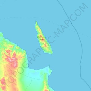
Name: Isla Cerralvo topographic map, elevation, terrain.
Location: Isla Cerralvo, La Paz, Baja California Sur, Mexico (23.87972 -110.17689 24.51972 -109.53689)
Average elevation: 266 ft
Minimum elevation: 0 ft
Maximum elevation: 4,049 ft