
Galvarino topographic map
Interactive map
Click on the map to display elevation.
About this map
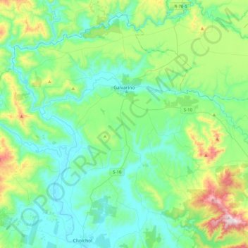
Name: Galvarino topographic map, elevation, terrain.
Location: Galvarino, Provincia de Cautín, Araucanía Region, Chile (-38.59418 -73.00450 -38.32014 -72.60899)
Average elevation: 591 ft
Minimum elevation: 56 ft
Maximum elevation: 2,543 ft