
CA topographic map
Interactive map
Click on the map to display elevation.
About this map
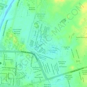
Name: CA topographic map, elevation, terrain.
Location: CA, Castilla, Province of Piura, Piura, 20011, Peru (-5.18067 -80.60922 -5.18057 -80.60912)
Average elevation: 115 ft
Minimum elevation: 79 ft
Maximum elevation: 157 ft
Other topographic maps
Click on a map to view its topography, its elevation and its terrain.