
Donceel topographic map
Interactive map
Click on the map to display elevation.
About this map
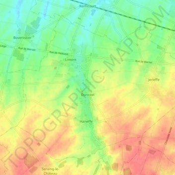
Name: Donceel topographic map, elevation, terrain.
Location: Donceel, Luik, Wallonië, 4357, België (50.62523 5.28094 50.67522 5.37646)
Average elevation: 509 ft
Minimum elevation: 410 ft
Maximum elevation: 607 ft