
Santa Rita topographic map
Interactive map
Click on the map to display elevation.
About this map
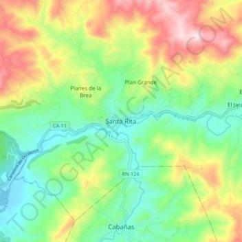
Name: Santa Rita topographic map, elevation, terrain.
Location: Santa Rita, Copán, Honduras (14.82802 -89.13412 14.90802 -89.05412)
Average elevation: 2,815 ft
Minimum elevation: 1,929 ft
Maximum elevation: 4,278 ft