Geolocate

Crowborough topographic map

Click on the map to display elevation.

Crowborough

In the late 19th century, Crowborough was promoted as a health resort based on its high elevation, the rolling hills and surrounding forest. Estate Agents even called it "Scotland in Sussex". The town's golf course opened in 1895, followed by a fire station and hospital in 1900.

Wikipedia (CC-BY-SA 3.0)

About this map

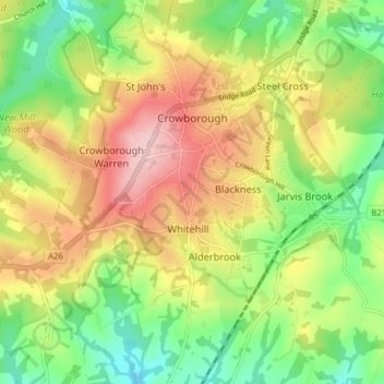
Name: Crowborough topographic map, elevation, terrain.

Location: Crowborough, Wealden District, East Sussex, England, United Kingdom (51.02955 0.11916 51.06922 0.19790)

Average elevation: 479 ft

Minimum elevation: 210 ft

Maximum elevation: 801 ft

Gear up for your next adventure:

🪶Wildlife Field Guides - Learn animal tracking and species ID
🥾Women's Hiking Boots - Top-rated trail boots with ankle support and superior grip
🎒Trekking Poles - Sturdy poles for balance and stability on rough terrain
😴Insulated Sleeping Pads - Compact and warm pads for high-elevation camping
🧥Men's Rain Shells - Premium waterproof and breathable jackets for mountain weather

As an Amazon Associate, this site earns from qualifying purchases at no extra cost to you.