
Stave topographic map
Interactive map
Click on the map to display elevation.
About this map
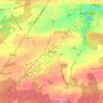
Name: Stave topographic map, elevation, terrain.
Location: Stave, Mettet, Namur, Wallonie, 5646, Belgique (50.26282 4.63904 50.30282 4.67904)
Average elevation: 869 ft
Minimum elevation: 669 ft
Maximum elevation: 991 ft