
gadera topographic map
Interactive map
Click on the map to display elevation.
About this map
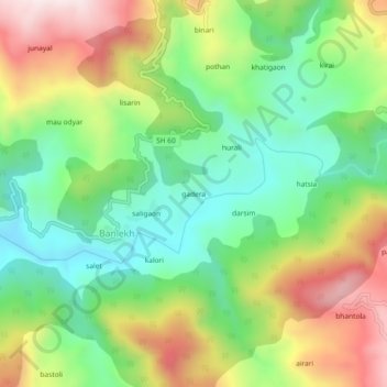
Name: gadera topographic map, elevation, terrain.
Location: gadera, Banlekh, Kanda, Bageshwar, Uttarakhand, 263634, India (29.85531 79.91412 29.89531 79.95412)
Average elevation: 4,541 ft
Minimum elevation: 3,730 ft
Maximum elevation: 5,748 ft