
Lützen topographic map
Interactive map
Click on the map to display elevation.
About this map
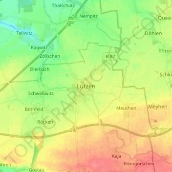
Name: Lützen topographic map, elevation, terrain.
Location: Lützen, Burgenlandkreis, Saxe-Anhalt, 06686, Allemagne (51.21856 12.10595 51.29856 12.18595)
Average elevation: 410 ft
Minimum elevation: 318 ft
Maximum elevation: 509 ft