
El Peñol topographic map
Interactive map
Click on the map to display elevation.
About this map
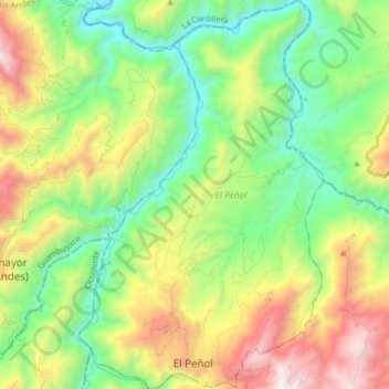
Name: El Peñol topographic map, elevation, terrain.
Location: El Peñol, Guambuyaco, Nariño, Colombie (1.44328 -77.48792 1.60532 -77.38593)
Average elevation: 3,770 ft
Minimum elevation: 1,243 ft
Maximum elevation: 8,310 ft