
La Cañada (La Barbechera) topographic map
Interactive map
Click on the map to display elevation.
About this map
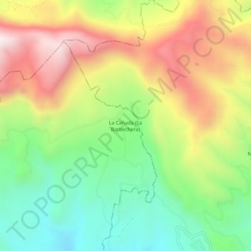
Name: La Cañada (La Barbechera) topographic map, elevation, terrain.
Average elevation: 4,934 ft
Minimum elevation: 3,540 ft
Maximum elevation: 6,690 ft