
Taman Tasik Puchong Perdana topographic map
Interactive map
Click on the map to display elevation.
About this map
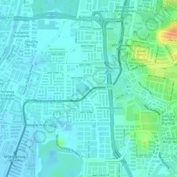
Name: Taman Tasik Puchong Perdana topographic map, elevation, terrain.
Average elevation: 56 ft
Minimum elevation: 26 ft
Maximum elevation: 154 ft
Other topographic maps
Click on a map to view its topography, its elevation and its terrain.
Batu 12 Puchong
Malaysia > Selangor > Subang Jaya > Puchong > Batu 12 Puchong
Batu 12 Puchong, Puchong, Subang Jaya, Petaling, Selangor, Malaysia
Average elevation: 82 ft