
Waters Creek topographic map
Interactive map
Click on the map to display elevation.
About this map
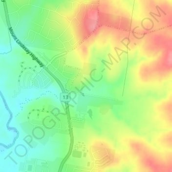
Name: Waters Creek topographic map, elevation, terrain.
Average elevation: 246 ft
Minimum elevation: 105 ft
Maximum elevation: 410 ft
Other topographic maps
Click on a map to view its topography, its elevation and its terrain.
Beaudesert
Australia > Queensland > Beaudesert
Beaudesert, Queensland, 4285, Australia
Average elevation: 266 ft