
Siegsdorf topographic map
Interactive map
Click on the map to display elevation.
About this map
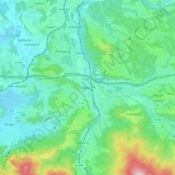
Name: Siegsdorf topographic map, elevation, terrain.
Location: Siegsdorf, Landkreis Traunstein, Beieren, 83313, Duitsland (47.78338 12.60282 47.86338 12.68282)
Average elevation: 2,205 ft
Minimum elevation: 1,759 ft
Maximum elevation: 3,743 ft