
Thank you for supporting this site ❤️
Make a donation
Make a donation
Gear up for your next adventure:
As an Amazon Associate, this site earns from qualifying purchases at no extra cost to you.
Atotonilco topographic map
Click on the map to display elevation.
Thank you for supporting this site ❤️
Make a donation
Make a donation
Gear up for your next adventure:
As an Amazon Associate, this site earns from qualifying purchases at no extra cost to you.
About this map
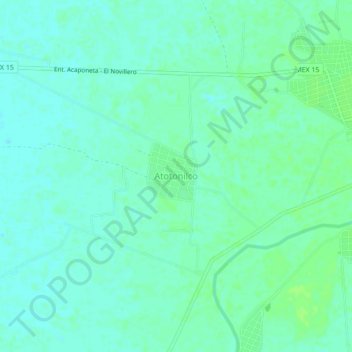
Name: Atotonilco topographic map, elevation, terrain.
Location: Atotonilco, Tecuala, Nayarit, 63454, Mexico (22.36766 -105.50373 22.40766 -105.46373)
Average elevation: 30 ft
Minimum elevation: 16 ft
Maximum elevation: 46 ft
Thank you for supporting this site ❤️
Make a donation
Make a donation
Gear up for your next adventure:
As an Amazon Associate, this site earns from qualifying purchases at no extra cost to you.