Machuca topographic map
Interactive map
Click on the map to display elevation.
About this map
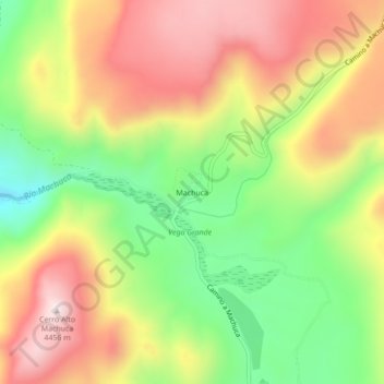
Name: Machuca topographic map, elevation, terrain.
Average elevation: 13,629 ft
Minimum elevation: 12,615 ft
Maximum elevation: 14,642 ft

Click on the map to display elevation.
Name: Machuca topographic map, elevation, terrain.
Average elevation: 13,629 ft
Minimum elevation: 12,615 ft
Maximum elevation: 14,642 ft