
Taraco topographic map
Interactive map
Click on the map to display elevation.
About this map
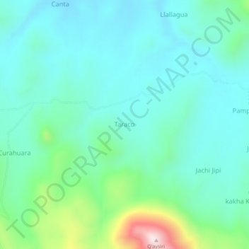
Name: Taraco topographic map, elevation, terrain.
Location: Taraco, Provincia Sajama, Oruro, Bolivia (-18.05702 -68.40953 -18.01702 -68.36953)
Average elevation: 13,881 ft
Minimum elevation: 13,474 ft
Maximum elevation: 15,456 ft