Geolocate

Casa Cola topographic map

Click on the map to display elevation.

About this map

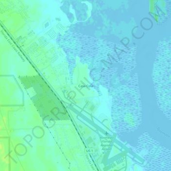
Name: Casa Cola topographic map, elevation, terrain.

Location: Casa Cola, Saint Johns County, Florida, 32095, United States (29.95219 -81.36619 29.99219 -81.32619)

Average elevation: 10 ft

Minimum elevation: -10 ft

Maximum elevation: 39 ft

Saint Johns County trails, hiking, mountain biking, running and outdoor activities

Gear up for your next adventure:

🪵Folding Camp Saw - Compact saw for wood and campsite work
🗺️Topographic Maps - Detailed topo maps for hiking, exploring and outdoor navigation
🪶LED Camping Lantern - Bright lantern for camp lighting
🩹Survival Bandages - High‑quality bandages for emergencies
🪶Survival Guide Book - Expert advice for emergency preparedness

As an Amazon Associate, this site earns from qualifying purchases at no extra cost to you.