
Lew topographic map
Click on the map to display elevation.
About this map
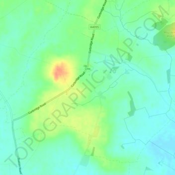
Name: Lew topographic map, elevation, terrain.
Location: Lew, West Oxfordshire, Oxfordshire, England, United Kingdom (51.73817 -1.55545 51.76519 -1.50477)
Average elevation: 259 ft
Minimum elevation: 213 ft
Maximum elevation: 348 ft
Other topographic maps
Click on a map to view its topography, its elevation and its terrain.
Shipton-under-Wychwood
United Kingdom > England > Oxfordshire > West Oxfordshire
Average elevation: 430 ft
Mount Skippett
United Kingdom > England > Oxfordshire > West Oxfordshire > Ramsden
Average elevation: 443 ft