
Otterburn topographic map
Interactive map
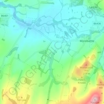
Click on the map to display elevation.
About this map
Name: Otterburn topographic map, elevation, terrain.
Location: Otterburn, Scottish Borders, Schotland, TD5 8EQ, VK (55.49304 -2.40742 55.53304 -2.36742)
Average elevation: 384 ft
Minimum elevation: 213 ft
Maximum elevation: 886 ft