
Alhama topographic map
Interactive map
Click on the map to display elevation.
About this map
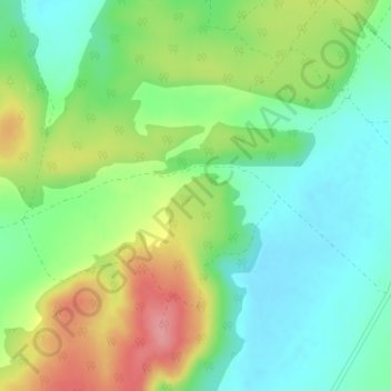
Name: Alhama topographic map, elevation, terrain.
Location: Alhama, Albacete, Castiglia-La Mancia, Spagna (38.88506 -1.60796 38.90506 -1.58796)
Average elevation: 2,907 ft
Minimum elevation: 2,776 ft
Maximum elevation: 3,130 ft