
Las Lajas topographic map
Interactive map
Click on the map to display elevation.
About this map
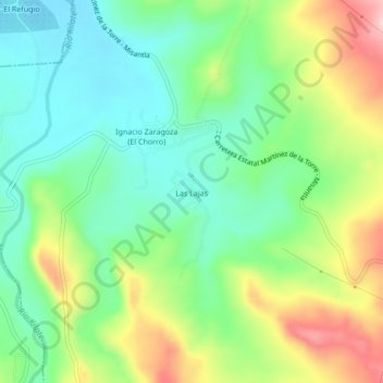
Name: Las Lajas topographic map, elevation, terrain.
Location: Las Lajas, Misantla, Veracruz de Ignacio de la Llave, México (19.95917 -96.96250 19.99917 -96.92250)
Average elevation: 584 ft
Minimum elevation: 315 ft
Maximum elevation: 1,076 ft