
Lac du Sautet topographic map
Interactive map
Click on the map to display elevation.
About this map
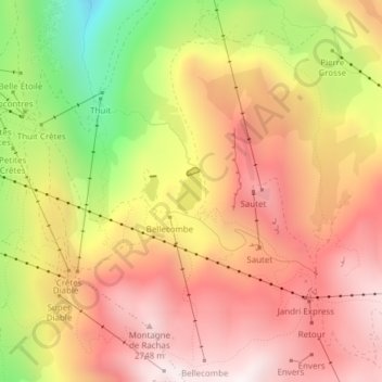
Name: Lac du Sautet topographic map, elevation, terrain.
Average elevation: 7,746 ft
Minimum elevation: 5,692 ft
Maximum elevation: 9,124 ft
Other topographic maps
Click on a map to view its topography, its elevation and its terrain.
Les Eymards
France > Auvergne-Rhône-Alpes > Isère > Mont-de-Lans
Les Eymards, Mont-de-Lans, Les Deux Alpes, Grenoble, Isère, Auvergne-Rhône-Alpes, France métropolitaine, 38860, France
Average elevation: 4,167 ft
Le Ponteil
France > Auvergne-Rhône-Alpes > Isère > Mont-de-Lans
Le Ponteil, Mont-de-Lans, Les Deux Alpes, Grenoble, Isère, Auvergne-Rhône-Alpes, France métropolitaine, 38860, France
Average elevation: 4,364 ft
Le Chambon
France > Auvergne-Rhône-Alpes > Isère > Mont-de-Lans
Le Chambon, Mont-de-Lans, Les Deux Alpes, Grenoble, Isère, Auvergne-Rhône-Alpes, France métropolitaine, 38860, France
Average elevation: 4,482 ft