
Ardakan topographic map
Interactive map
Click on the map to display elevation.
About this map
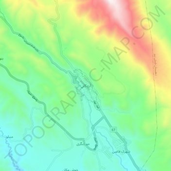
Name: Ardakan topographic map, elevation, terrain.
Location: Ardakan, خفری, بخش مرکزی, Sepidan County, Fars Province, Iran (30.22235 51.94365 30.30235 52.02365)
Average elevation: 7,995 ft
Minimum elevation: 6,749 ft
Maximum elevation: 10,804 ft