
Laracha topographic map
Interactive map
Click on the map to display elevation.
About this map
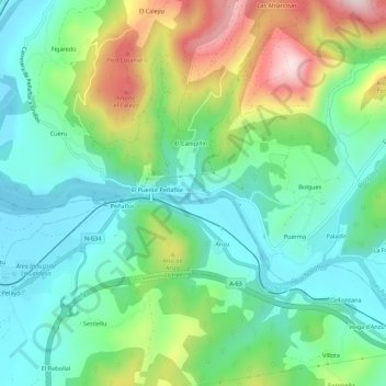
Name: Laracha topographic map, elevation, terrain.
Location: Laracha, Las Regueras, Asturias, 33820, España (43.38374 -6.05489 43.42374 -6.01489)
Average elevation: 505 ft
Minimum elevation: 102 ft
Maximum elevation: 1,391 ft