
La Libertad topographic map
Interactive map
Click on the map to display elevation.
About this map
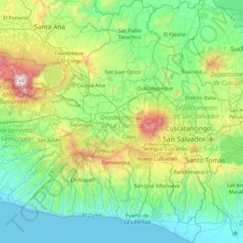
Name: La Libertad topographic map, elevation, terrain.
Location: La Libertad, El Salvador (13.42522 -89.63162 14.06473 -89.14750)
Average elevation: 1,663 ft
Minimum elevation: 0 ft
Maximum elevation: 7,710 ft
Other topographic maps
Click on a map to view its topography, its elevation and its terrain.
Volcan de San Salvador
El Salvador > La Libertad > Santa Tecla
Volcan de San Salvador, Santa Tecla, La Libertad, El Salvador
Average elevation: 5,443 ft