
Case Mountain topographic map
Interactive map
Click on the map to display elevation.
About this map
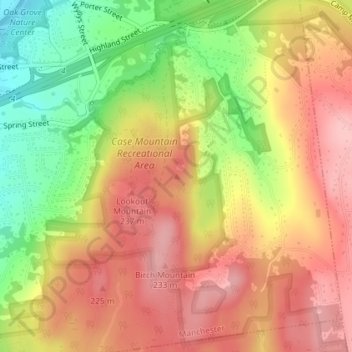
Name: Case Mountain topographic map, elevation, terrain.
Average elevation: 594 ft
Minimum elevation: 312 ft
Maximum elevation: 794 ft
Other topographic maps
Click on a map to view its topography, its elevation and its terrain.
Central Manchester
United States > Connecticut > Capitol Region COG > Manchester
Central Manchester, Manchester, Hartford County, Connecticut, 06040, United States
Average elevation: 233 ft