
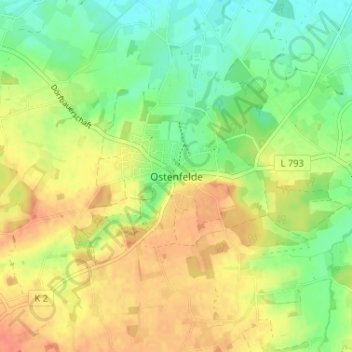
Ostenfelde topographic map
Interactive map
Click on the map to display elevation.
About this map
Name: Ostenfelde topographic map, elevation, terrain.
Average elevation: 292 ft
Minimum elevation: 220 ft
Maximum elevation: 361 ft
Other topographic maps
Click on a map to view its topography, its elevation and its terrain.
Enniger
Deutschland > Nordrhein-Westfalen > Kreis Warendorf > Ennigerloh
Enniger, Ennigerloh, Kreis Warendorf, Nordrhein-Westfalen, Deutschland
Average elevation: 256 ft