
Brooklin topographic map
Interactive map
Click on the map to display elevation.
About this map
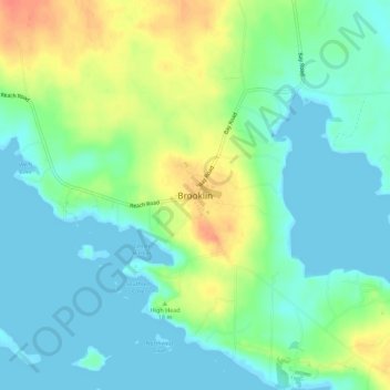
Name: Brooklin topographic map, elevation, terrain.
Location: Brooklin, Hancock County, Maine, 04616, USA (44.24614 -68.58906 44.28614 -68.54906)
Average elevation: 52 ft
Minimum elevation: -3 ft
Maximum elevation: 154 ft